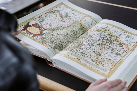
Maps are everywhere. You’ll see them on your phone, while watching the weather forecast, in the newspaper, on your satnav, in advertising or while planning a walk. While maps are very easy to find online, they may not be the most suitable for your needs. The Map Library is home to the University of Portsmouth’s cartographic resources. Most items in the collection are not listed on the library catalogue so, if you have any mapping requirements, please contact us.
Some of the things we can help you find include:
- Maps to incorporate in your project, dissertation or thesis
- Ordnance Survey data for use in GIS or CAD
- The most detailed maps of Great Britain currently available
- Historic maps of Portsmouth dating back to the 16th century
- Online mapping available for other countries, from Australia to the USA
- Geological maps and nautical charts
Historical Maps
We hold a significant collection of historic Ordnance Survey (OS) maps of the local area. This includes an almost complete set of OS County Series 1:2,500 maps of Hampshire and the Isle of Wight, covering the period from 1860-1939. We also hold a rare and complete collection of OS 1:500 Town Plans of Portsmouth that date from the 1860s/70s.
Digital Maps
Library staff can provide advice about the use of the EDINA Digimap service, which provides online access to current and historical OS maps and data. You can find information about the simple registration process here https://digimap.edina.ac.uk/help/about/register/.
The University of Portsmouth Map Library
Have you noticed that maps are everywhere these days? Most mobile phone users have access to maps. They’re in our cars, with built-in dashboard displays becoming the norm. You’ll see them when out and about, to help us navigate our busy cities. Maps are commonly found in both electronic and traditional board games and puzzles. They can be used as decorative works of art. Some people even wear them! Maps surround us all the time, but sometimes it can be hard to work out what you need for your work and some popular online maps may not be the best option. Whatever your mapping needs, the University of Portsmouth Map Library is here to help you.
Portsmouth happens to be one of the best mapped places in Britain and some of this material can be accessed from our Map Library. From historic maps to bang up to date digital data, we should be able point you in the right direction. It’s not just for Geographers either, we help Architects and Property Development students who might use online mapping software that has tools to compare, annotate and print digital maps. Geologists wanting a base map to use out in the field. Historians, who get very excited by our excellent collection of historic large scale Ordnance Survey maps. Anyone trying to source a map for their overseas fieldwork.
But it’s not just about work - you might just want a basic Ordnance Survey map to help you find your way while exploring the lovely British countryside. If you’d like to know more about what the Map Library can offer, then do drop in to say hello, or check out the information on the Library website. You’ll find us on the first floor, in the corner of area 1A. We’re here to help you. The Map Library – we’ll find you a way.
Opening times
The Map Library does not have fixed opening times, although it is generally available from 09.00 -13.00 and 14.00 - 16.30.
It is only open from Monday to Friday and is not open in the evening or at weekends.
You are welcome to drop in, although it is best to contact us before making a special visit.
Access to the Map Library is only possible when the Library is staffed.
Location
University Library First Floor
(in the rear corner opposite the Dentistry building)
SZ 63707 99718
50° 47' 36.7"N
01° 05' 51.0"W
///kite.wooden.atom


